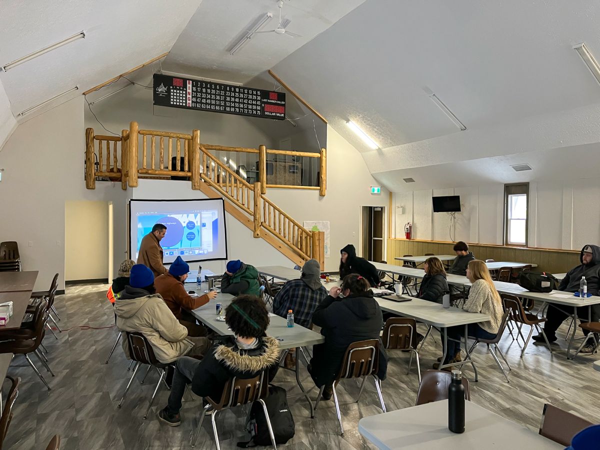
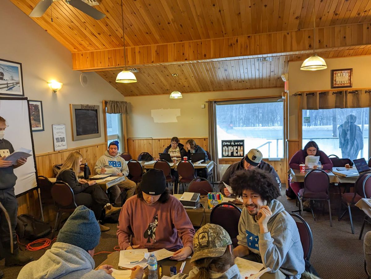
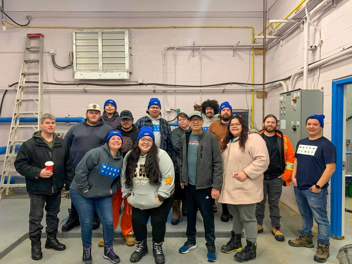
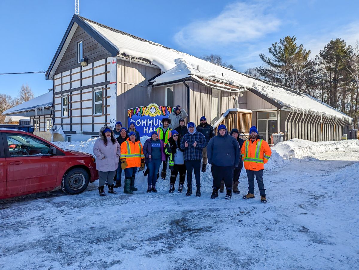
In January, interns in the Drinking Water Internship Program gathered at the Mississauga First Nation Community Centre for a week-long Geographic Information Systems (GIS) and mapping workshop.
Grand Council Chief Reginald Niganobe joined the group to kick off the week with a discussion of traditional navigation tools. The interns, along with Keith Sayers (Mississauga First Nation Land and Resources Manager), learned about the uses of these traditional tools, which included preserving Traditional Knowledge of sacred places, and defining traditional hunting routes and trail marking systems.

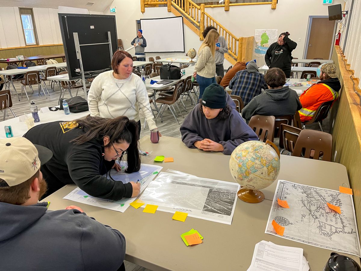
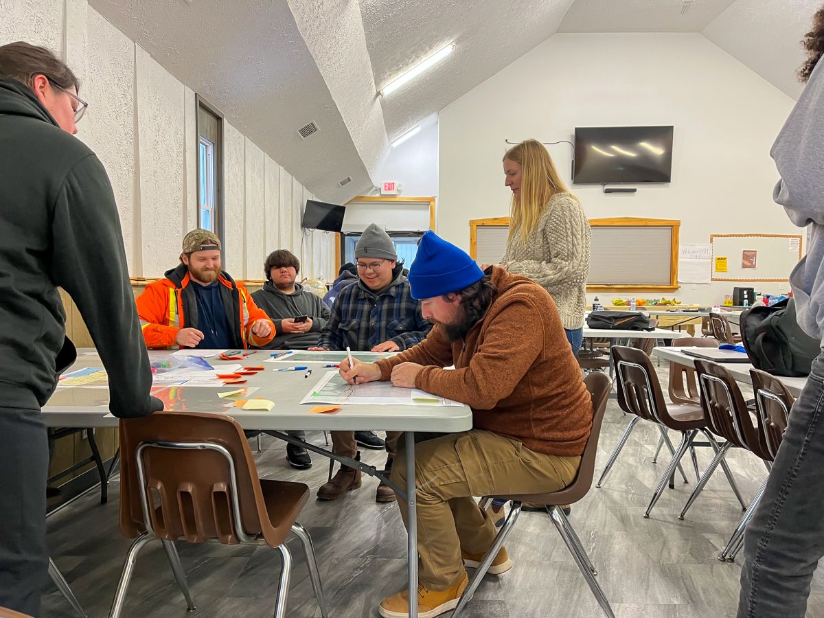
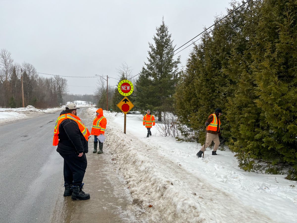
On the second day of the workshop, the interns got an overview of the different concepts and features on maps – like longitude and latitude, scale, and decimal degree – and how to read them. The group had the chance to get out of the Community Centre to find attributes around town, like hydrants and curb stops, and use GPS devices to mark them. They would use these data to make their own maps later in the week.
The next day, the group learned how a map’s look and design can impact a presentation’s ability to communicate a message successfully. Interns then had the chance to work on making their own Google Maps using the GPS data points they had collected the previous day.
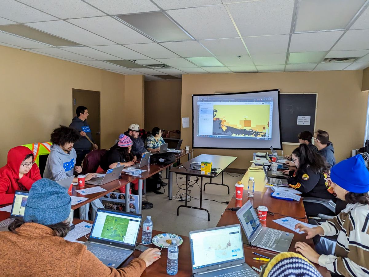
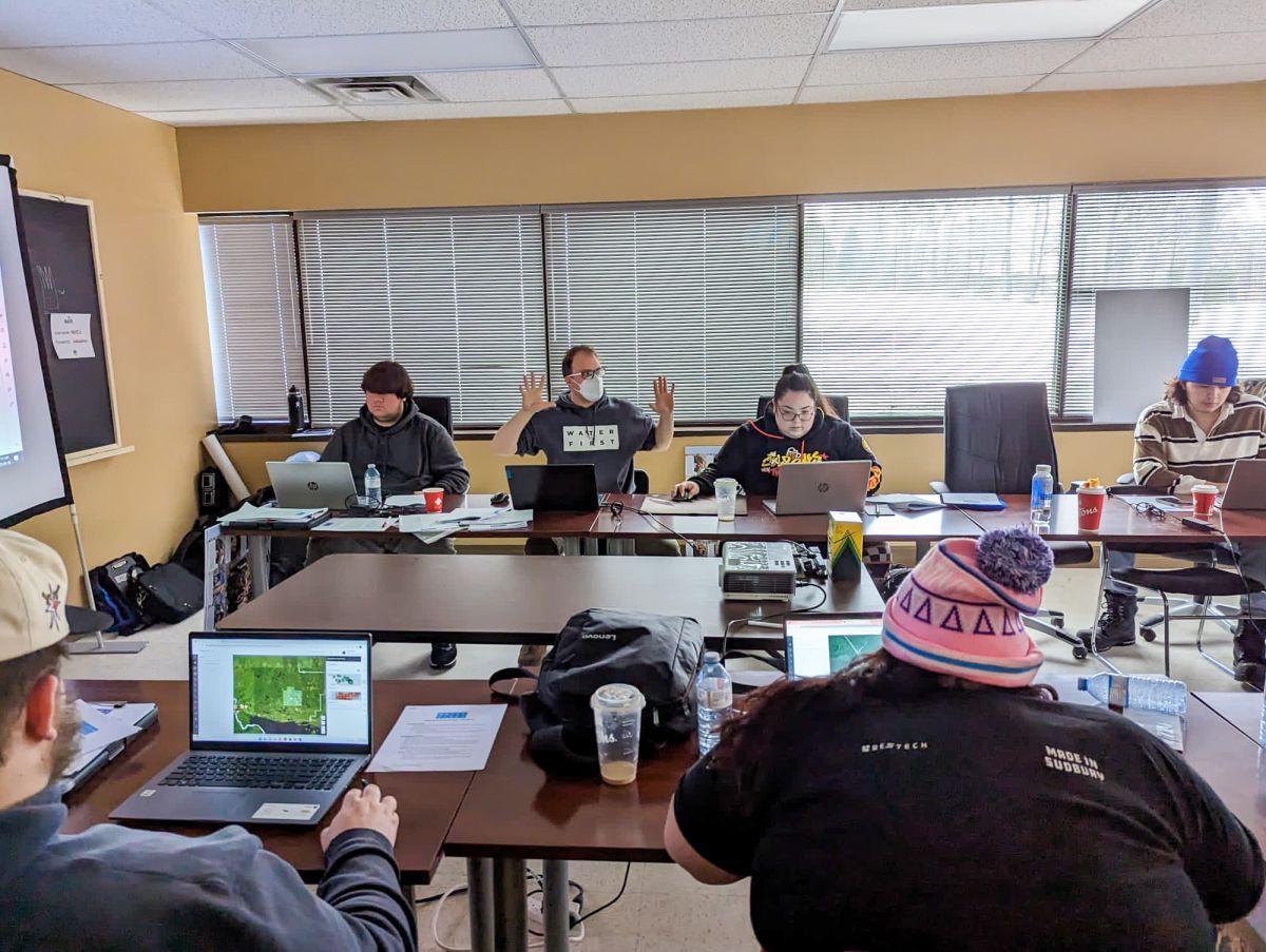
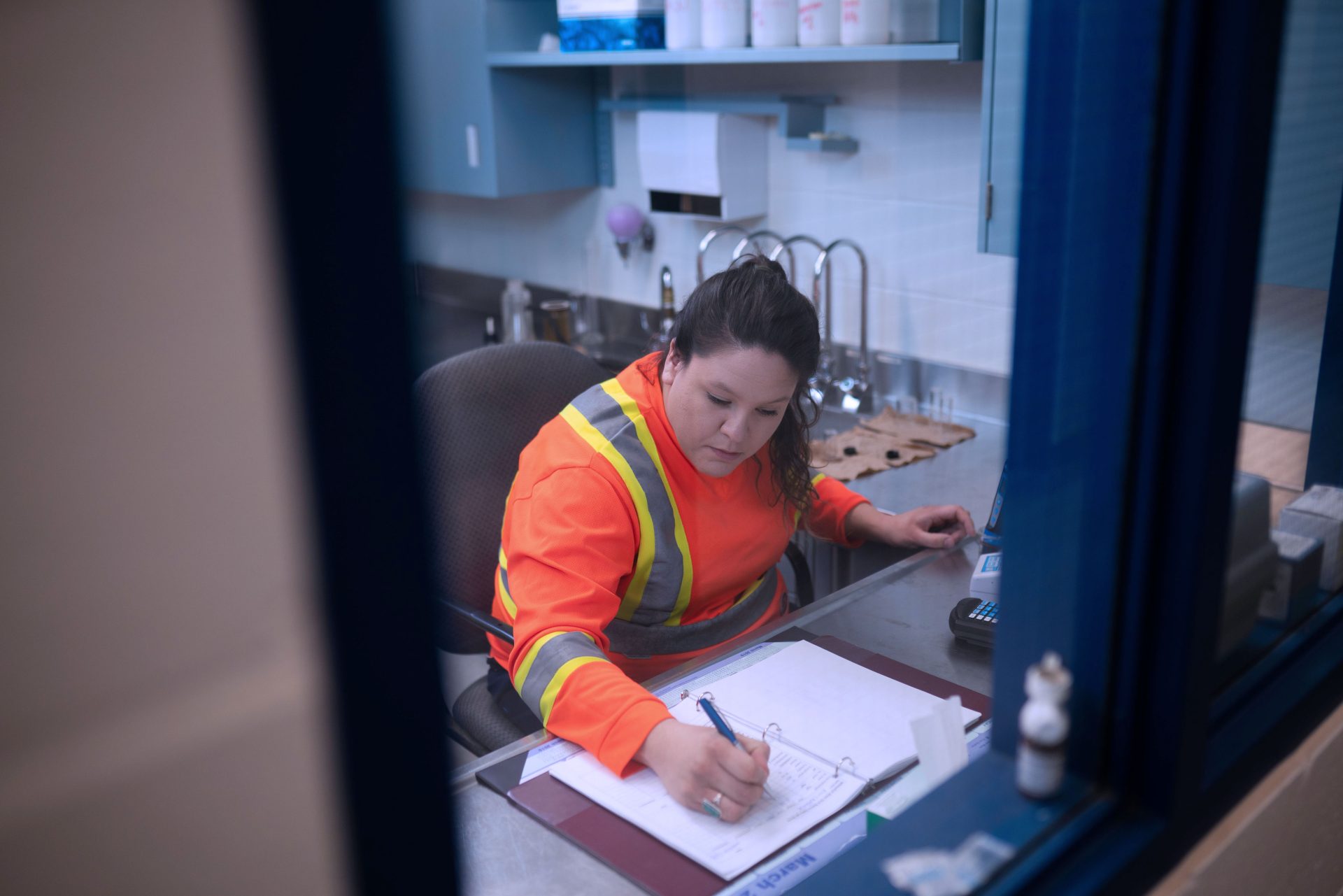
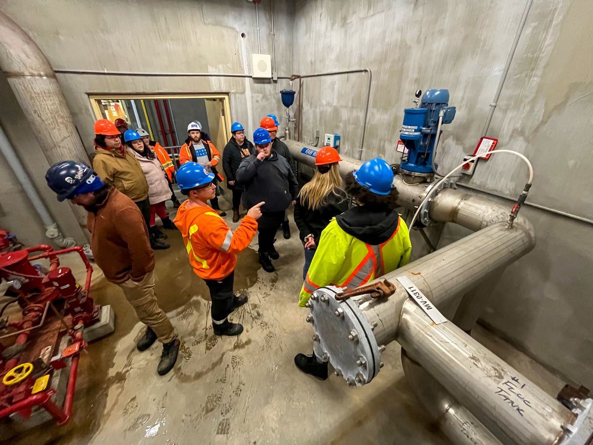
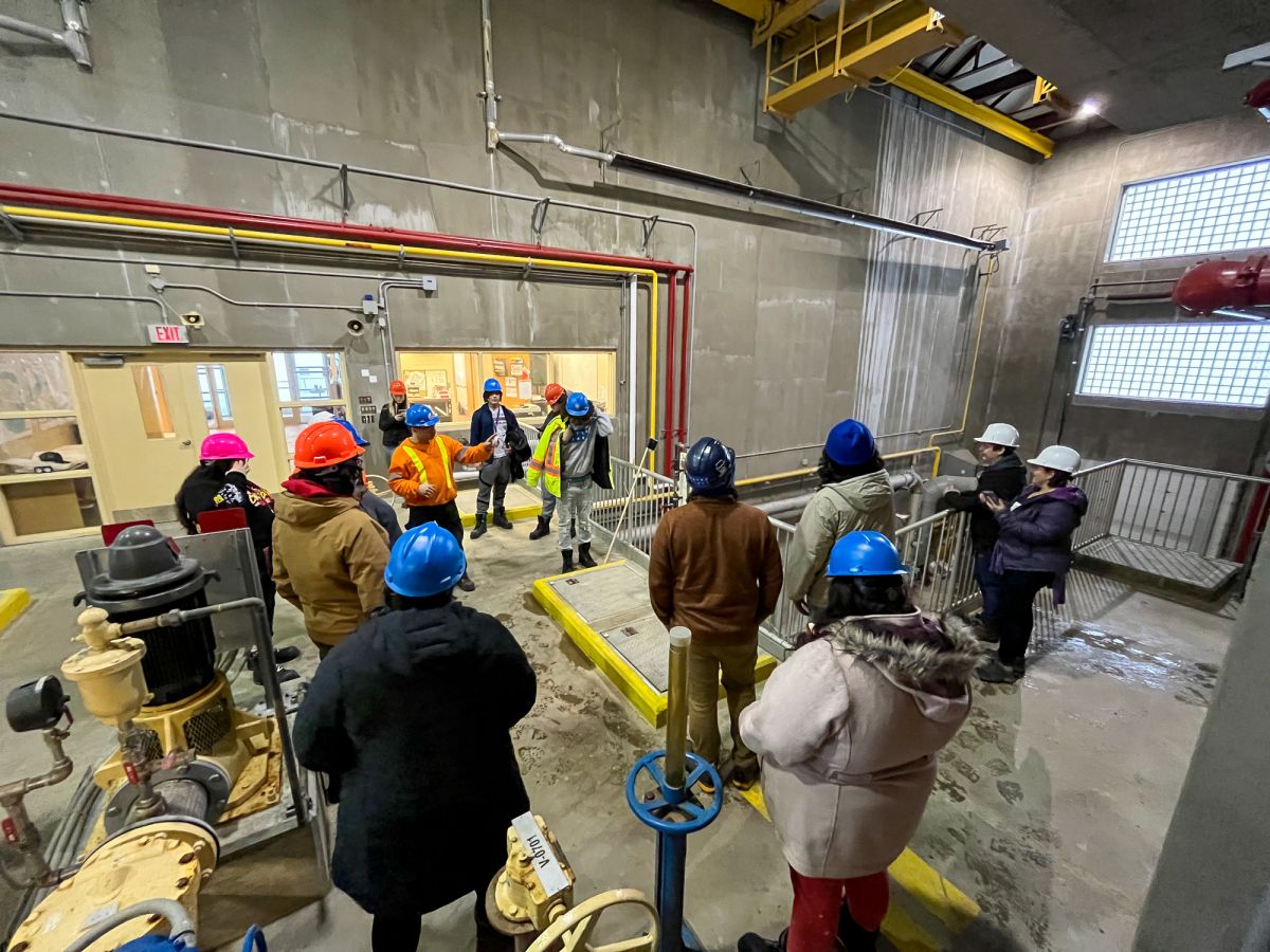
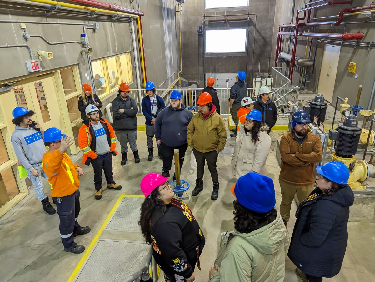
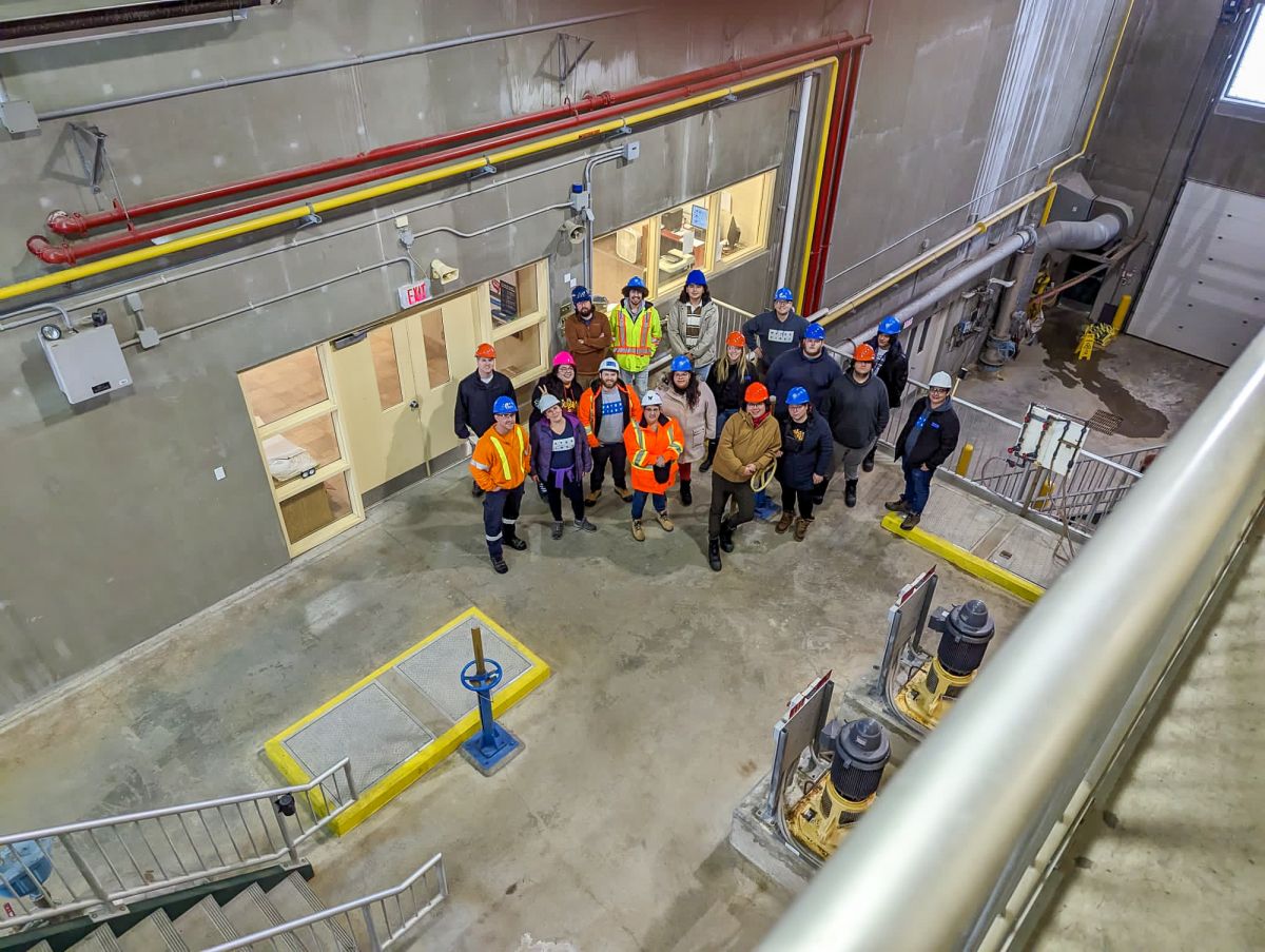
The final two days of this week-long workshop were spent touring water treatment plants and seeing how essential GIS tools are to a community’s water operations. First, they went on a tour of the Class 3 water treatment plant in Blind River. The tour was followed by a session using ArcGIS to create maps of the data points they had collected on Tuesday and adding details to the maps. These are valuable skills for interns to bring back to their communities, because it means they can create asset maps for water quality management.
On the final day, the group visited the Mississauga First Nation water treatment plant (where two of the interns work) for a tour led by the local operator, Jarret. Another special guest, Jake, a GIS technician from Mississauga First Nation, explained how GIS data is used within the community and how it can be used to mark and preserve important cultural points in the community. This information is critical for the protection and rehabilitation of lands and water sources and for securing funding.

The interns will continue their learning journey with a series of employment and career workshops. These sessions will explore goal setting, mind mapping for the future, as well as how to apply to school and funding. At this point in the internship, interns are encouraged to think about what’s next for them after graduating from the program. We know they’ll be able to put their new skills to good use, whether they are moving into employment, education or another path.
Want to read more about the Drinking Water Internship Program?